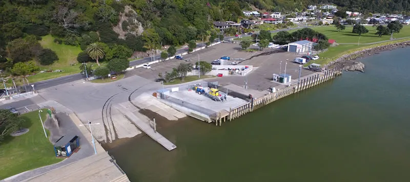
Whakatāne, Ōhope and surrounding coastal areas have a number of ramps, jetties, wharves, navigational equipment and other harbour facilities for public use. While Bay of Plenty Regional Council is responsible for navigation and safety within the Bay of Plenty region, Whakatāne District Council provides and maintains facilities for public and private use.
The Whakatāne Harbour is situated at the northern end of the Whakatāne River, adjacent to the township of Whakatāne near the river mouth. The harbour has provided a safe haven for vessels since the arrival of the Mataatua canoe, and today it is home to many recreational and commercial marine activities.
The Ohiwa Harbour lies between Whakatāne and Ōpōtiki, covering an area of around 26 square kilometres. The harbour contains a number of islands and is a significant natural, cultural and recreational resource. Its entrance is located at the eastern end of the Ōhope spit.
The Rangitāiki River is the longest river in the Bay of Plenty. Its mouth is located at Thornton, west of Whakatāne. The Thornton area is a popular recreational fishing and boating spot. For information on the bars in the Whakatāne area, contact the Whakatāne Coastguard on 07 308 6477.

